








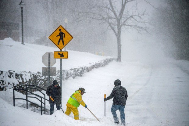
Farmers Almanac First Snowfall Map: Expected Dates & Regional Timelines
As autumn approaches, many homeowners, outdoor enthusiasts, and winter sports lovers eagerly check the Farmers Almanac first snowfall map to see when the first winter flakes will arrive. Based on long-term climate trends and regional weather patterns, the first snowfall map provides historical expectations for measurable snow across the United States.
In this guide, we break down expected regional dates and explain how first snowfall benchmarks work across different parts of the country.
When Does First Snow Fall Across the United States?
The first snowfall timeline varies widely depending on latitude, elevation, and proximity to major bodies of water:
- September: Highest mountain peaks of the Rockies and far northern ranges.
- October: Northern Rockies, Northern Plains, Upper Midwest, and interior New England.
- November: Great Lakes region, central Rockies, interior Northeast, and higher Appalachians.
- December to January: Lower elevation Midwest, Mid-Atlantic coast, and parts of the Deep South.
Understanding Snowfall Milestones
Meteorologists and long-range weather predictors divide early seasonal winter precipitation into three distinct categories:
| Milestone | Definition | Typical Significance |
|---|---|---|
| First Flakes | Flurries observed falling with zero ground accumulation. | Signals seasonal temperature drop. |
| Measurable Snowfall | At least 0.1 inches of accumulated snow on the ground. | Standard baseline used by climate maps. |
| Significant Snowfall | Accumulation of 1.0 inch or greater. | Impacts road travel and daily routines. |
Factors Influencing Your Local First Snowfall
Local weather conditions can vary drastically even between neighboring towns. Several geographic factors play a crucial role in determining when snow actually lands on the ground:
-
- Elevation Differences: Higher elevations experience colder air temperatures earlier in the season, often receiving snow while nearby valley floors see only rain.
- Great Lakes Effect: Cold Canadian air passing over warmer lake waters generates narrow bands of heavy lake-effect snow downwind in late autumn.
- Coastal Proximity: Oceans retain heat longer than landmasses, causing coastal regions to stay warmer and delay early snowfall compared to inland locations.
Frequently Asked Questions (FAQs)
What counts as “measurable snowfall” on weather maps?
National weather monitoring standards consider any accumulation of 0.1 inches or more on the ground as measurable snowfall.
Can the first snowfall date change drastically from year to year?
Yes. Maps show long-term historical averages, but early-season arctic surges or prolonged autumn warmth can move actual snowfall dates ahead or back by several weeks.
Final Takeaway
Tracking the first snowfall timeline helps communities prepare for early winter travel, home maintenance, and seasonal activities. While climate maps offer a reliable baseline, local geography and shifting weather patterns ultimately determine when the first winter flakes arrive.




One comment on “Farmers Almanac First Snowfall Map: Expected Dates & Timelines”